Maps of Our Work
We use the latest geographic information system, or GIS, mapping software to help you find our properties or learn about how and where we work. GIS maps provide an engaging interactive experience, so we’re using this technology to help share our work and projects with you. If you find these maps difficult to navigate, please review this brief GIS user guide. Happy mapping and trekking!
- Map of Our Work
- Our Properties
- Conveyed Land
- Conservation Regions
- Tree Plantings
- Pittsburgh Redbud Project
- Community Gardens
- Community Flower Garden Bike Tours
- Improved Access for Waterway Recreation
- Our Impact on the Chesapeake Bay Watershed
- Assessing Shale Gas Development in High Value Ecological Areas
- Multi-Scale Conservation Framework, French Creek Watershed
Map of Our Work
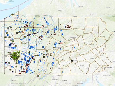
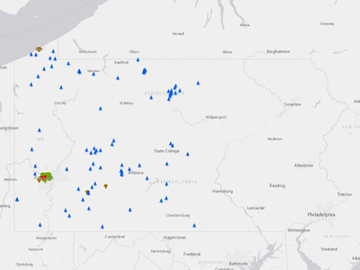
Our interactive map highlights the locations of all of the Conservancy's work – from land protection projects to where trees are planted along streams – within the many cities and towns throughout Western Pennsylvania. For assistance, just click the help guide.
Explore Our Properties
Explore this interactive map of the 41 Conservancy-owned properties, which includes our natural areas, nature reserves, forest reserves and conservation areas. This map includes all of our protected properties across the region. All of these areas are freely open to the public for nature watching and recreation.
Our Work Benefits Public Lands
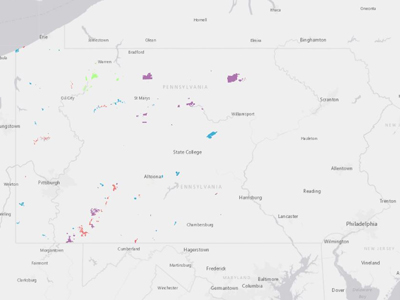
Through our land protection work, we’ve conserved about 200,000 acres of land and conveyed this land to local, state and federal entities for parks, game lands, wild areas and forests in Western Pennsylvania. This map shows the locations of the public land we’ve protected.
Conservation Regions
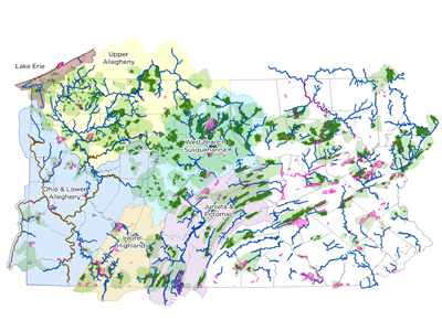
The beautiful and varied landscapes of Western Pennsylvania range from high plateaus and mountain ridges to vast forests and rich river valleys. Using science, research and information as our guide, the Western Pennsylvania Conservancy has prioritized six landscape regions as important areas to protect land and waterways and restore water quality in order to provide our region with clean waters and healthy forests, wildlife and natural areas.
Tree Plantings
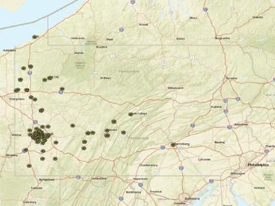
Through our various tree-planting initiatives, TreeVitalize Pittsburgh, Pittsburgh Redbud Project, other community forestry projects, and the watershed program’s riparian tree plantings, we’ve planted more than 70,000 trees since 2001. Use this map to explore the many cities and towns where our trees have been planted.
Pittsburgh Redbud Project
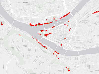
The Pittsburgh Redbud Project is an exciting WPC initiative that’s changing downtown Pittsburgh’s riverfronts, hillsides and trails with native, beautiful pink flowering redbud trees! Since 2016, with the help of volunteers and partners, we’ve planted nearly 3,800 new trees as part of this project. Evergreen trees, other flowering trees and shrubs have also been planted along with redbuds to provide tree diversity and encourage tree health. Use this map to find locations where you can see redbud trees in bloom in each April. This project is funded by Colcom Foundation.
Community Flower Gardens
Explore this interactive map to locate our 132 community flower gardens. These gardens provide natural color and beauty, and community collaboration in cities and towns across 20 different counties.
Community Flower Gardens Bike Tours
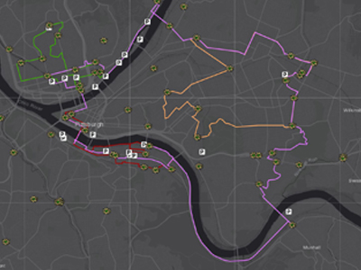
Planted each May by groups of volunteers, Pittsburgh is home to 62 of the Western Pennsylvania Conservancy’s 130 community flower gardens. Now you can tour these community flower gardens and other greening projects on one of four self-guided bike routes. Remember to follow all bicycle safety precautions and traffic laws. Enjoy your ride and the gardens!
Improving Access for Waterway Recreation
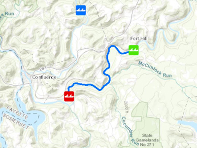
We're improving access for waterway recreation. Now, grabbing your canoe and finding a place to paddle is much easier, thanks to the 62 river access locations made possible by WPC’s Canoe Access Development Fund (CADF). Learn more about this fund, the generous WPC members who started it and how you can take advantage of great regional paddling trips that were improved with CADF grants.
Our Impact on the Chesapeake Bay Watershed
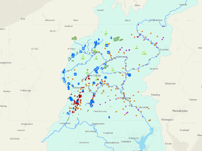
With a six-state watershed of more than 64,250 square miles and habitat for more than 3,600 plant and animal species, the Chesapeake Bay is one of the most unique and productive natural environments in the world. Explore this interactive map of the Conservancy's extensive work in the Chesapeake Bay watershed in Pennsylvania.
Assessing Shale Gas Development in High Value Ecological Areas
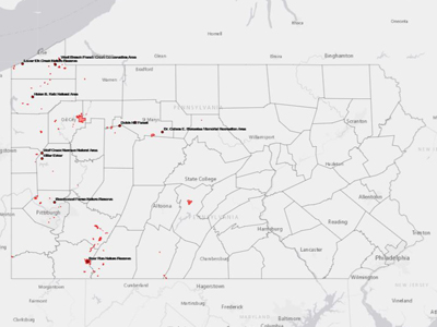
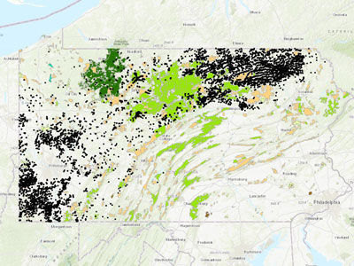
The impact of shale gas development can be seen within the landscape and on the species of our region. More than 45% of Pennsylvania’s Natural Heritage Areas are underlain by the primary targets for deep gas extraction, the Utica and Marcellus shale formations. From 2013-2017, WPC conducted research and monitoring, and issued two reports that assessed several ecological areas in Pennsylvania’s shale gas region. Use this map to explore the focal areas and data collected at those monitoring sites.
Multi-Scale Conservation Framework, French Creek Watershed
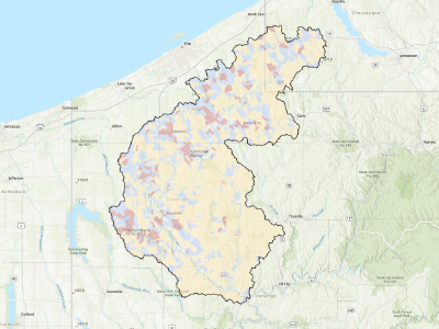
The U.S Army Corps of Engineers developed an objective, science-based conservation framework for the French Creek watershed, located in northwestern Pennsylvania and southwestern New York. French Creek is the most biologically diverse aquatic system within the northeastern United States. In recent years, however, land use changes and expanding populations have degraded the quality of aquatic habitats and threatened the diverse aquatic communities within French Creek. This tool is built upon statistical models that predict biological impairment as a function of landscape uses, including forested, agricultural and residential/urban land cover. Model results were then used to help prioritize areas for potential future management actions aimed at restoring streams predicted as ‘impaired’ and protecting streams predicted as ‘not impaired’.

