Miller Esker Natural Area
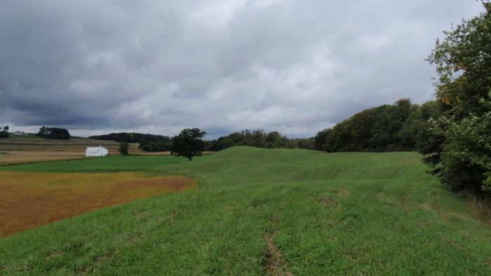
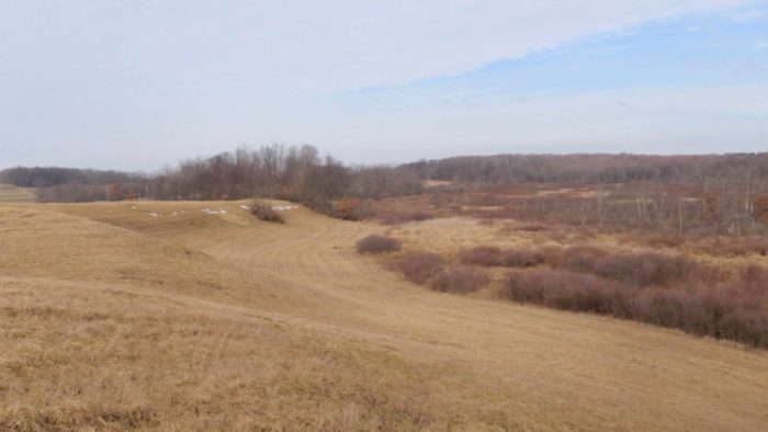
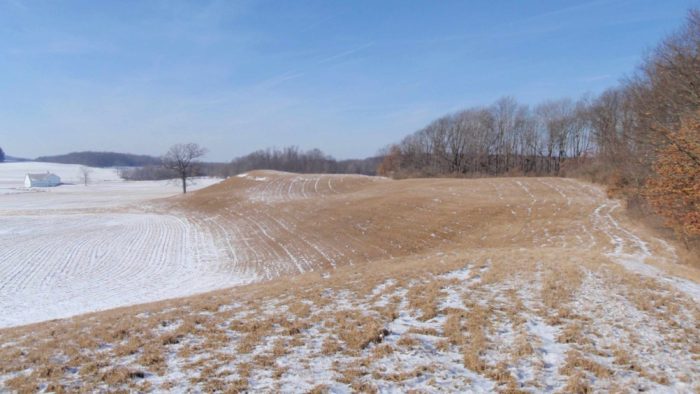
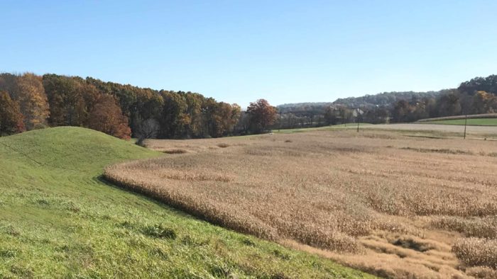
Miller Esker, also known as Jacksville Esker and West Liberty Hogback, formed during the last glaciation about 23,000 years ago. Miller Esker Natural Area currently protects over 2,000 feet of the esker, possibly the best preserved in the state.
What is an “esker”? Eskers form when melting ice carves a river-like tunnel within a glacier. As the tunnel enlarges, the flowing water carries a significant amount of sand and gravel. As the glacier recedes, this material is eventually deposited along the path of the tunnel, leaving behind a serpentine mound that, over thousands of years, becomes covered with soil and vegetation. Many eskers, including portions of Miller Esker outside the Natural Area, have been mined for the sand and gravel deposits.
Location
- Worth Township, Butler County
Dates Acquired
1975
Size
Approximately 32 acres
Notable features
A significant geologic feature (an esker)
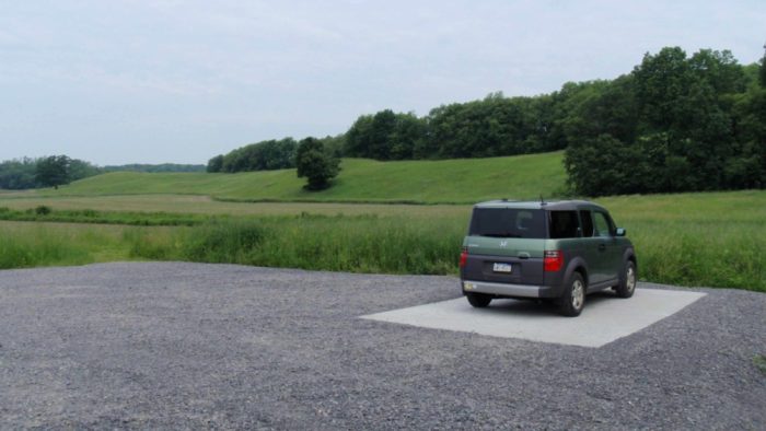
Parking
Parking Available
Recreational Activities
- Hiking (Off-Trail)
- Hunting
- Wildlife Watching
- Birding
Recreational Activities
Hiking
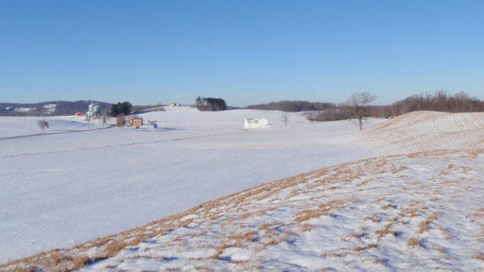
While there are no designated trails within the Natural Area, visitors are welcome to walk from the parking area to the top of the 40-foot-tall esker. Walking close to the treeline will give a sense of the esker’s size and sinuosity. Returning along the base of the feature will give a sense of its mass.
Wildlife Watching
Wildlife watchers visiting in summer should look for meadow-dependent birds, mammals and insects. The esker is mowed in late August, providing habitat for migrating or wintering birds such as American pipit, snow bunting and Lapland longspur.
Hunting
Hunting is permitted Monday through Saturday, but is not permitted on Sundays. Trapping is not permitted. Please exercise caution and wear blaze orange during hunting season.
Plan Your Visit
Directions
Take I-79 to Exit 96 (Portersville). From the ramp, take PA-488 W for 0.5 mile to Rt. 19. Take a slight right onto Rt. 19 N, travel 0.5 mile and turn right onto W. Park Rd. Travel 6 miles and continue straight onto W. Liberty Rd. The road will crest over a modest rise and a large red brick farmhouse will be on the left (to the north). The esker lies beyond the farmhouse to the northeast, marked by two large oaks 400 yards apart on the lower, southern slope of the esker. Continue 0.4 miles to a gravel parking area on the left.
Visitor Tips
Watch this introduction to Miller Esker Natural Area
To truly appreciate the esker, it’s worth a climb to the top. But, there’s no maintained trail, so be prepared for a steep climb through potentially tall vegetation. Wear sturdy boots or shoes, apply sunscreen and bring water. Be prepared for your visit by watching this short video about this natural area and reviewing the downloadable maps and materials below. We recommend downloading these files to your mobile device prior to visiting.
The esker is Site #8 on PA DCNR’s “Trail of Geology – Glacial Lakes and Drainage Changes” (copies available at nearby Moraine State Park and at www.dcnr.state.pa.us).
Visitor Guidelines
When visiting Miller Esker Natural Area, please remember:
- Vehicles, including ATVs, snowmobiles and bicycles, are prohibited.
- Camping and campfires are prohibited.
- If you carry it in, carry it out.
- Dogs must be on a leash at all times.
- Collecting (animals, plants, rocks, etc.) without permission is prohibited.
- Review the Guidelines for Public Use of WPC Properties document prior to your visit
Downloadable Materials
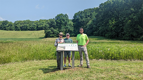
Thanks to the following organizations for their support in constructing the parking area:
- The Butler County Tourism & Convention Bureau
- Moraine State Park
- Moraine Preservation Fund