Uses for Bathymetry Mapping and GIS Services
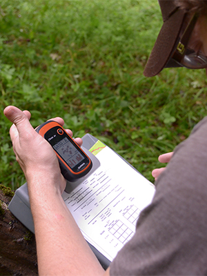
Our watershed staff has experience in mapping different bodies of water to create bathymetric maps. This technology can be used underwater to map Western Pennsylvania's glacial lakes, as well as provide field and analysis information to interested parties. This technology and application would be useful for other projects in need of low-cost, high-resolution mapping. Whether you require a basic set of watershed maps, in-field data collection, database development, and/or spatial analysis, the Conservancy has the expertise to meet your conservation and geospatial needs.
How We Can Help
We strive to develop mapping solutions scaled to the individual users. We can help local nonprofit organizations, municipalities, state agencies, small businesses or national conservation organizations. We also are available to consult with you for specialized GIS services. Examples of the services we can provide, include:
- Thematic map development & cartography
- Bathymetric mapping and analysis of rivers and lakes
- Integrated GPS & field data collection and analysis
- Watershed or regional scale database management and analysis
- Conservation planning & prioritization for best management practice installation