Wolf Creek Narrows Natural Area
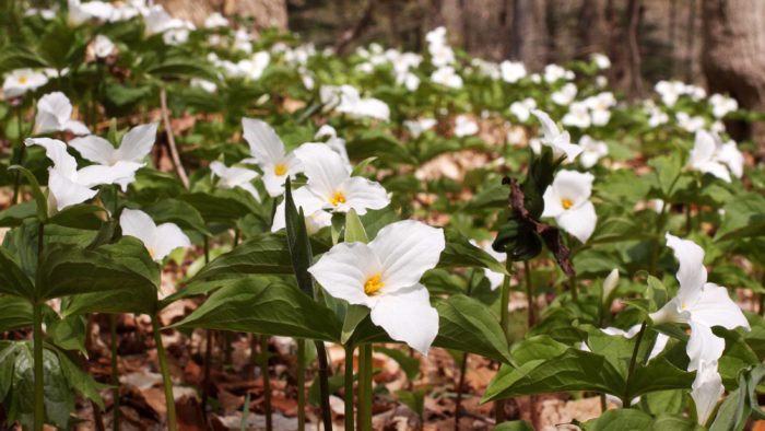
Wolf Creek Narrows Natural Area is particularly known for its spectacular display of spring wildflowers. An active floodplain, mature northern hardwood forest, and scenic cliffs make this property one of WPC’s most popular.
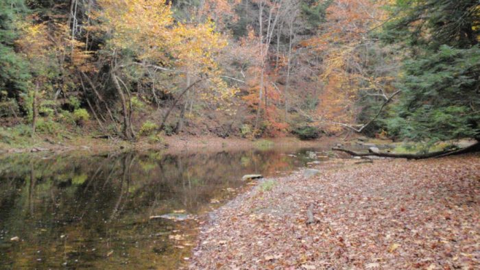
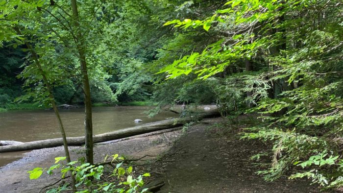
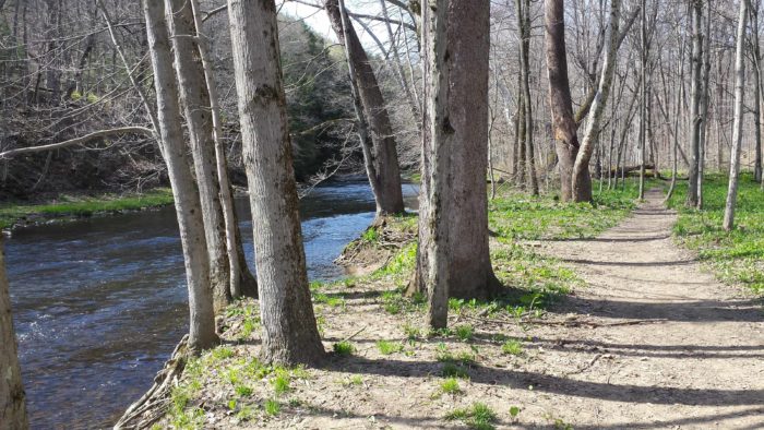
It is believed that the steep, narrow gorge of Wolf Creek Narrows originally formed when the ceiling of an ice-age cave eroded and collapsed due to runoff from the melting glacier. The site now consists of a high -quality stream meandering through towering 50-foot cliffs. These natural processes, including annual flooding and ice scouring, as well as limited human activities, have resulted in diverse natural communities.

Location
- Slippery Rock Township, Butler County
- Worth Township, Butler County
Dates Acquired
1979 - 2015
Size
Approximately 243 acres
Notable features
Mature forest, Wolf Creek floodplain and streambank, spring wildflowers, vernal pools, old fields
Parking
Parking Available
Recreational Activities
- Fishing
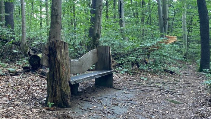
- Hiking (Designated Trail)
- Hiking (Off-Trail)
- Hunting
- Kid-Friendly
- Wildlife Watching
- Birding
Recreational Activities
Hiking
The preserve features 2.35 miles of moderately-difficult hiking trail (round-trip includes a loop). The section from the lower trailhead (nearest the bridge; white-blazed) along the floodplain is rich with wildflowers in the spring. The trail then climbs steep slopes covered by a mature northern hardwood forest.
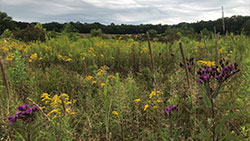
From the upper parking area, the yellow-blazed trail meanders through fields of grasses and wildflowers, a riparian forest restoration area, and a mature upland forest before connecting with the upper section of the white-blazed trail loop. Portions of this trail can be quite wet depending on the season and weather conditions.
Wildlife Watching
The mixture of riparian and upland communities provides habitat for a variety of wildlife. Birds include belted kingfisher, Louisiana waterthrush, wood thrush, and the occasional osprey or bald eagle. Small, isolated pools of water provide breeding habitat for amphibians. Abundant logs on the forest floor offer cover for salamanders and snakes.
Hunting and Fishing
Hunting and fishing are permitted in accordance with state regulations, although hunting is not permitted on Sundays. Please exercise caution and wear blaze orange during hunting season. Trapping is not permitted.
Visiting Guidelines
When visiting Wolf Creek Narrows Natural Area, please remember:
- Only foot-traffic is permitted.
- Camping and campfires are prohibited.
- If you carry it in, carry it out.
- Dogs must be on a leash or otherwise kept under control at all times. Dog waste must be properly removed from the preserve. There are no trash facilities.
- Collecting (animals, plants, rocks, etc.) without permission is prohibited.
- Review the Guidelines for Public Use of WPC Preserves document prior to your visit
Birding
Wolf Creek Narrows Natural Area is an eBird hotspot! eBird hotspots are the best places for birding around the world. Eastern screech owl, Louisiana waterthrush and solitary sandpiper are just a few of the species spotted on the preserve. eBird.org is a website and app you can use to: find more birds; keep track of your bird lists, photos, and sounds; explore the latest sightings from around the world; join the world’s largest birding community; and contribute your observations to science and conservation. Visit eBird.org for more information, directions to hotspots and more.
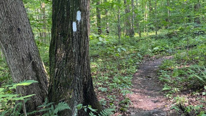
Trail Blazes
The painted trail blazes follow a standard protocol for marking hiking trails in North America. Learn what each trail blaze means.
Plan Your Visit
Directions
From the Slippery Rock exit off I-79, go east on Rt. 108 to Slippery Rock. At the light in town, turn left on Rt. 258. Go one block, turn left on W. Water St., and follow it for approx. 1.2 miles (W. Water St. becomes Miller Rd.) to the upper parking area and trailhead on the right. To reach the lower parking area, continue on Miller Rd. for another 0.5 mile to a metal bridge. Cross the bridge and immediately turn left into a small parking area. Walk back across the bridge, and the trailhead is on the left. Please use caution and watch for traffic along the road.
Please note: The lower parking area is located on the Miller Woods tract, owned and managed by Slippery Rock University.
The southern parcel of Wolf Creek Narrows Natural Area (downstream) is accessible only from the creek.
Visitor Tips
Watch this introduction to Wolf Creek Narrows Natural Area
Hiking the trail requires negotiating steps, a narrow plank crossing and steep slopes. Wear sturdy boots or shoes, and bring water. Be prepared for your visit by watching this short video about this natural area and reviewing the downloadable maps and materials below. We recommend downloading these files to your mobile device prior to visiting.